How to Navigate Edelbrock Sick 66 Using Ride With GPS
Edelbrock Sick 66 features a road journey of over 1300 miles. Given we are trying to spend as much of this event as possible on Route 66, navigation can be somewhat complicated!
Fortunately racers will have plenty of information available. The directions are featured in the Edelbrock Sick 66 event program for those who like to navigate using print, but for a very handy turn-by-turn experience we will be using the Ride With GPS app.
For those new to this app, it allows us much greater flexibility than using Google Maps. Here is a quick guide on how to get started. The instructions shown are for iPhones but Android devices should be very similar.
Download the Ride With GPS app. Set up a free account and log in.

2. Go to the Edelbrock Sick 66 event page at https://www.sickthemagazine.com/sick-66 then click the Route button. You can see two options for seeing the route on Ride With GPS. To navigate, click ‘Navigation’.


4. Click ‘Open’ to go to the Ride With GPS app. If you are already logged in you will get a congratulations message. Now you can click on ‘Go to Event.’


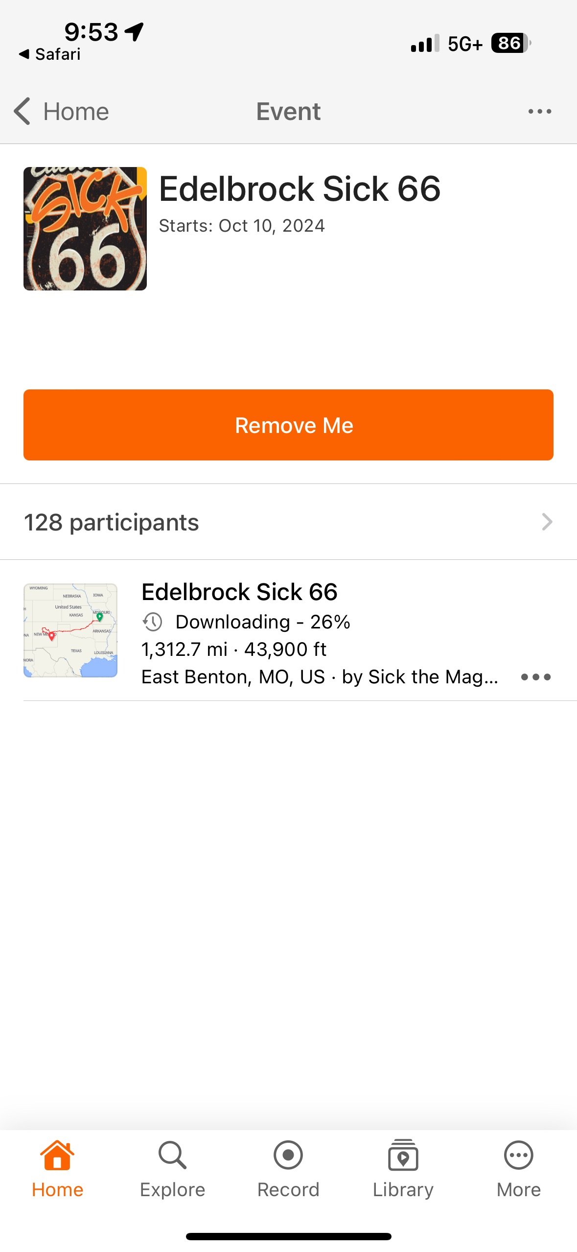
5. The app will now show your event. We recommend clicking on the three dots next to the event and downloading the map for offline use. If you click on the event, it will show you the map. From there you just have to click ‘Navigate’ and you are good to go!